The most common mistake we see in Balbriggan is assuming that Ireland's low seismicity means you can skip a site-specific response analysis. That assumption gets expensive when a structure's natural period aligns with soft clay amplification and suddenly non-structural damage appears in a nearly complete building. Balbriggan sits on a mix of glacial till over Carboniferous shale and mudstone, with buried channels of alluvial soft clays along the Bracken River corridor—a profile that can amplify weak ground motion by a factor of two or more. We run seismic microzonation studies that map the shear-wave velocity structure beneath your site, correlating borehole data with MASW profiling to quantify the amplification function for each soil column. This isn't about code compliance alone; it's about knowing whether the 475-year return period ground motion in Balbriggan actually governs your design or whether basin-edge effects push it higher.
Site class alone doesn't tell the story—two Balbriggan sites with identical Vs30 can have completely different amplification functions depending on impedance contrasts at depth.
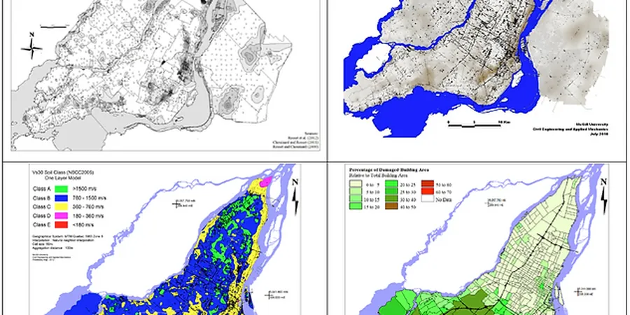
Methodology applied in Balbriggan
Risks and considerations in Balbriggan
The specific concern in Balbriggan is the lateral contrast between stiff Dublin Basin till and the softer estuarine deposits that fill paleochannels near the coast. When you place a structure straddling these boundaries, differential amplification can produce out-of-phase shaking across the foundation footprint. Our microzonation maps break the site into response zones using Vs30 measurements and one-dimensional equivalent-linear site response analysis. In one project near Balbriggan harbour, the variation in spectral acceleration at 0.2 seconds exceeded 40% across less than 80 metres. We also evaluate liquefaction susceptibility in the loose saturated sands that occasionally appear at depth, applying the NCEER methodology to SPT blowcounts and fines content. For critical facilities, we extend the analysis to two-dimensional effects where basin geometry suggests surface-wave generation at the rock-head interface.
Our services
Our seismic microzonation work in Balbriggan covers the full chain from field measurement to design-ready ground motion parameters. Each study is calibrated to the local geology of north County Dublin.
Site-specific response spectra development
We derive elastic and design response spectra for your Balbriggan site using measured Vs profiles and bedrock input motions from the GSI seismic hazard model, producing spectral acceleration maps for return periods of 95, 475, and 975 years.
Liquefaction potential assessment
Where borehole logs reveal loose saturated sands in the Balbriggan subsurface, we evaluate cyclic stress ratio and cyclic resistance ratio per NCEER methodology, providing factor-of-safety maps and post-liquefaction settlement estimates.
Frequently asked questions
Does Balbriggan actually need seismic microzonation given Ireland’s low seismicity?
Ireland experiences moderate seismicity with events up to magnitude 5.4 historically, and the National Annex to Eurocode 8 assigns a reference peak ground acceleration of 0.04g–0.06g for the Dublin region. What makes microzonation valuable in Balbriggan is the soil amplification: soft clays and loose sands can amplify bedrock motion significantly, turning a low PGA into spectral accelerations that govern structural design. For schools, hospitals, or industrial facilities, a site-specific study often reveals design loads that differ from code defaults by 30% or more.
What does a seismic microzonation study in Balbriggan typically cost?
The cost ranges from approximately €4,020 for a single-site Vs30 determination with basic response analysis to around €15,660 for a multi-hectare development requiring MASW arrays, borehole downhole testing, 1D and 2D response modelling, and liquefaction assessment. The scope depends on site area, depth to bedrock, and whether the structure falls into consequence class CC2 or CC3 under Eurocode.
How long does the field work and analysis take for a typical Balbriggan site?
Field work usually takes 2 to 3 days for a standard site, including MASW line deployment and downhole seismic in at least one borehole. Laboratory processing of surface-wave data and iterative inversion to produce the Vs profile adds another week. The full report with response spectra, amplification factors, and design recommendations is typically delivered within 3 to 4 weeks from field completion, depending on the complexity of the soil column and whether 2D effects need modelling.